The Plants & Animals on Cumberland Island
The wild and wonderful ecology of this Georgia island is a major part of its appeal for nature lovers.
Cumberland Island’s extensive ecosystems, which include wide sand dunes and unspoiled beaches, salt marshes, freshwater wetlands, and lush maritime forest, make it one of the most remarkable Georgia barrier islands and national seashores. The area is home to more than 500 distinct plants, 300 species of birds, and mammals, reptiles, and amphibians ranging from endangered loggerhead sea turtles to alligators to armadillos.
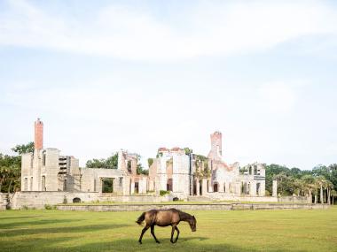
The animals on Cumberland Island include a herd of feral horses, more than 100 of which roam freely on the island. Combined with historic sites ranging from the Dungeness Ruins to the historic, one-room First African Baptist Church, Cumberland Island is one of the country’s most intriguing national seashores.
The largest and southernmost of the barrier islands that dot Georgia’s more than 100 miles of coastline, Cumberland Island is 17.5 miles long with more than 36,000 acres of salt marshes, maritime forest, sand dunes, and beachfront — more than 9,800 acres of which form the official Cumberland Island National Seashore. Cumberland’s remote location, pristine beachfront, and diverse ecosystem make it a must-visit destination.
Thriving diversity
With one of the most extensive ecosystems on the Atlantic coast, Cumberland Island remains nearly 75 percent wild due to conservation efforts and its designation as a National Seashore. The island’s more than 36,000 acres and 18 miles of undeveloped beaches help protect and nurture the local wildlife.
Salt marsh, maritime forest, & beaches
Cumberland has three distinct ecosystems: salt marsh, maritime forest, and dunes and beaches.
Salt marsh
Located on the island’s western side, Cumberland’s more than 9,000 acres of salt marsh result from Georgia’s high tidal range — or difference between high and low tide — and low coastal elevation, which floods the area with salt water after storms and high tide. The tide brings nutrients, oxygen, and water to the marsh, which makes it a safe habitat for animals and helps filter water and reduce flooding in surrounding areas. Plant life here, which ranges from cedar and palmetto trees to needle rush and smooth cordgrass, is hearty and salt tolerant.
Animals are few but include snails, oysters, crab, and shrimp. Fiddler crabs, for example, play an important role in the salt marsh, helping to decompose organic matter, and their burrows allow oxygen into the mud.
Maritime forest
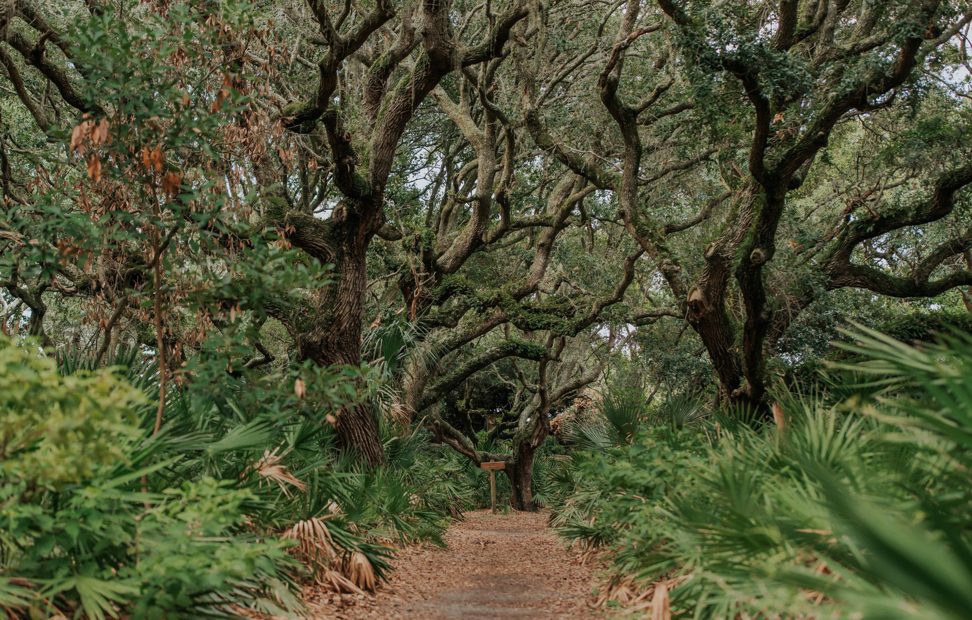
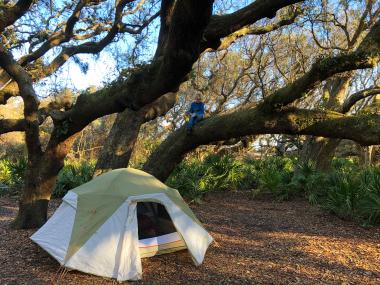
The salt marsh is bordered by a vast maritime forest, with dense clusters of live oak trees that stabilize the shoreline and protect the delicate salt marsh ecosystem. The highest point of the forest, or canopy, is dominated by these live oaks, draped with Spanish moss, resurrection ferns, and fungi. The trees’ exposure to salty air stunts their growth, giving them their characteristic twisted branches that reach across the island’s trails and campgrounds. Those branches are home to insects, squirrels, and migratory birds — the island is a migration stopover for more than 300 species, including peregrine falcons and warblers in the fall and painting bunting in the summer.
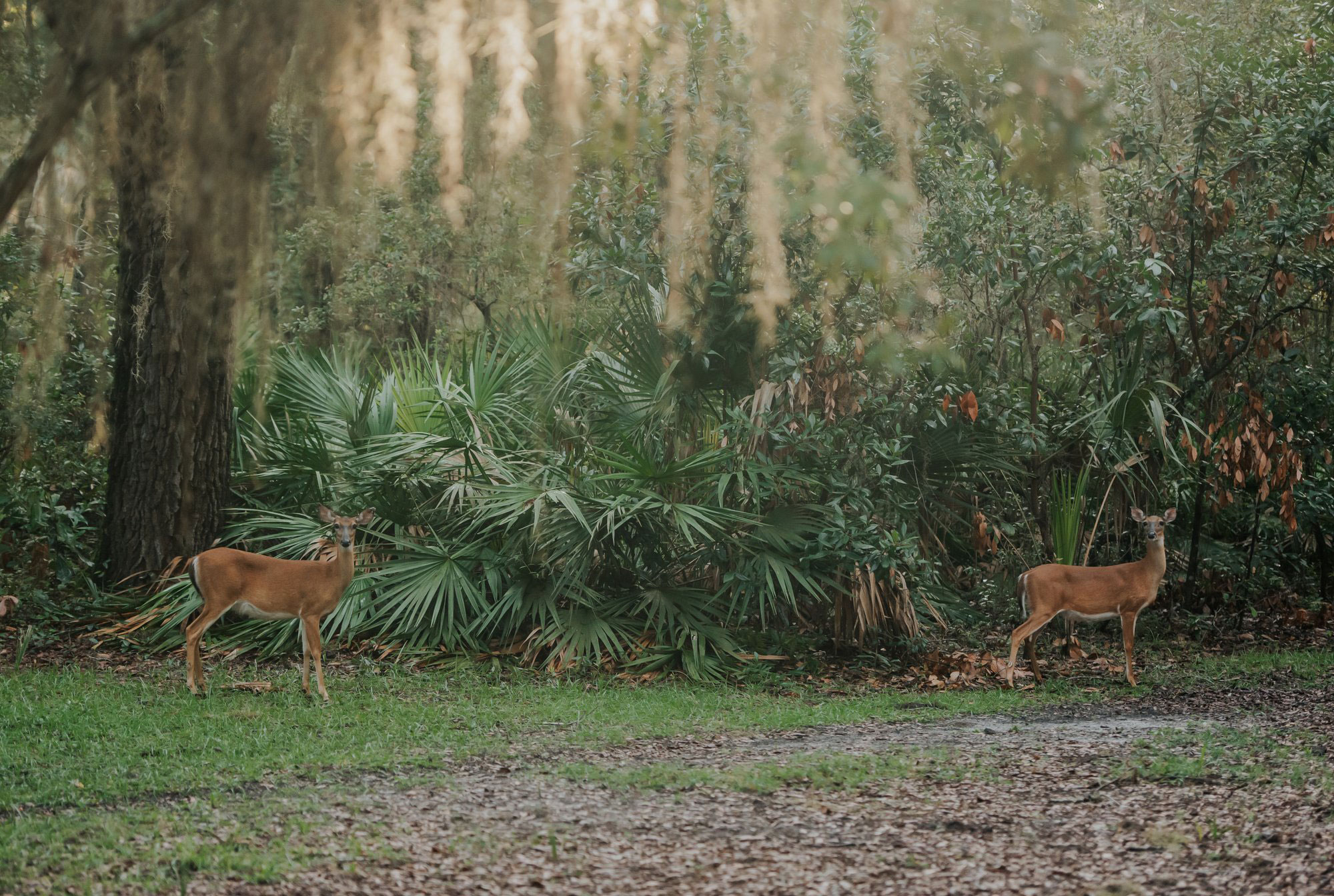
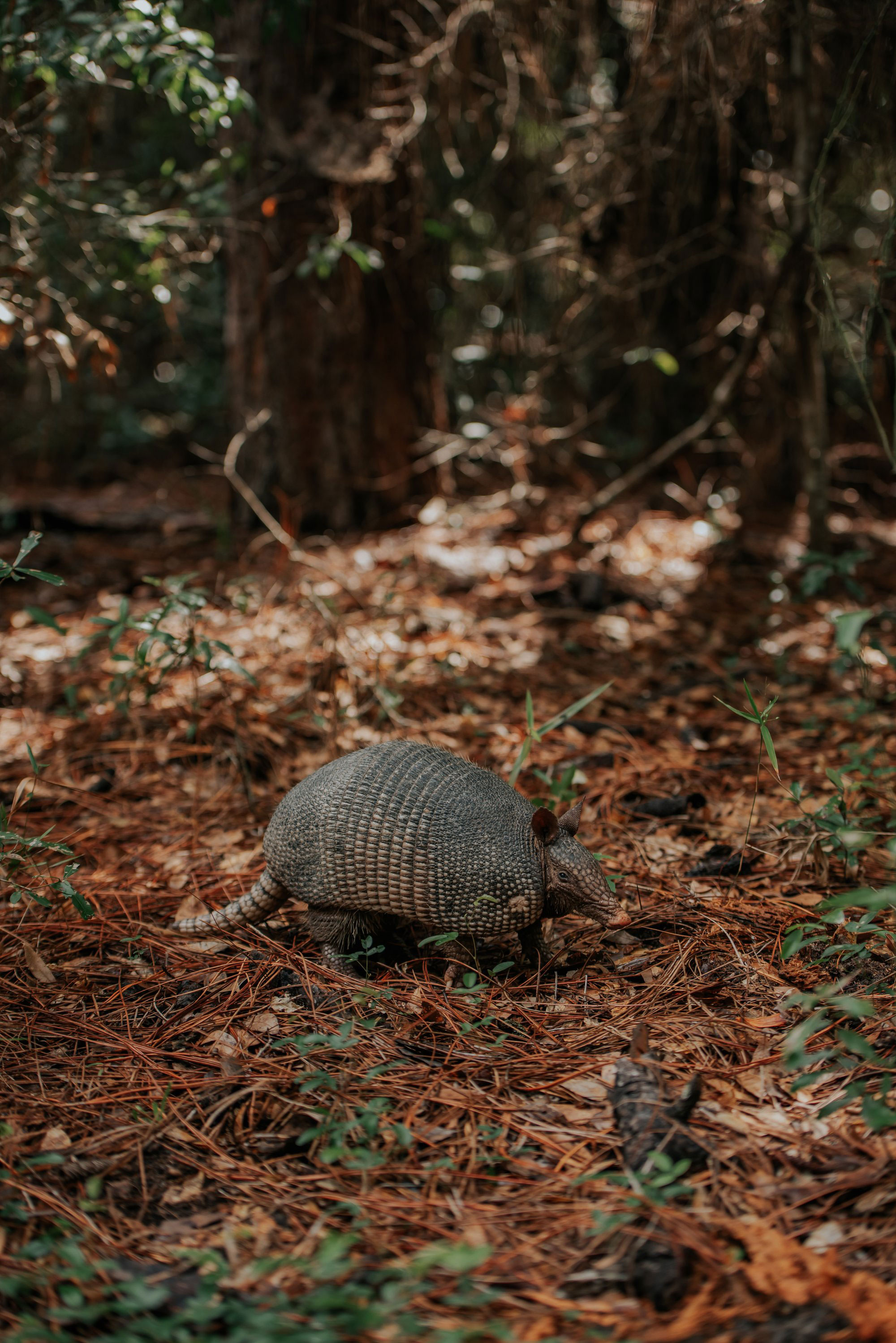
Just below the tree canopy lies the forest’s understory, with dense, shade-tolerant vegetation like sparkleberry, hollies, and saw palmetto, which also provide camouflage as well as food for resident birds and white-tailed deer. Armadillos and insects make their home in the forest’s ground floor, which is rich with nutrients from a combination of dead wood, animals and leaves.
Beaches
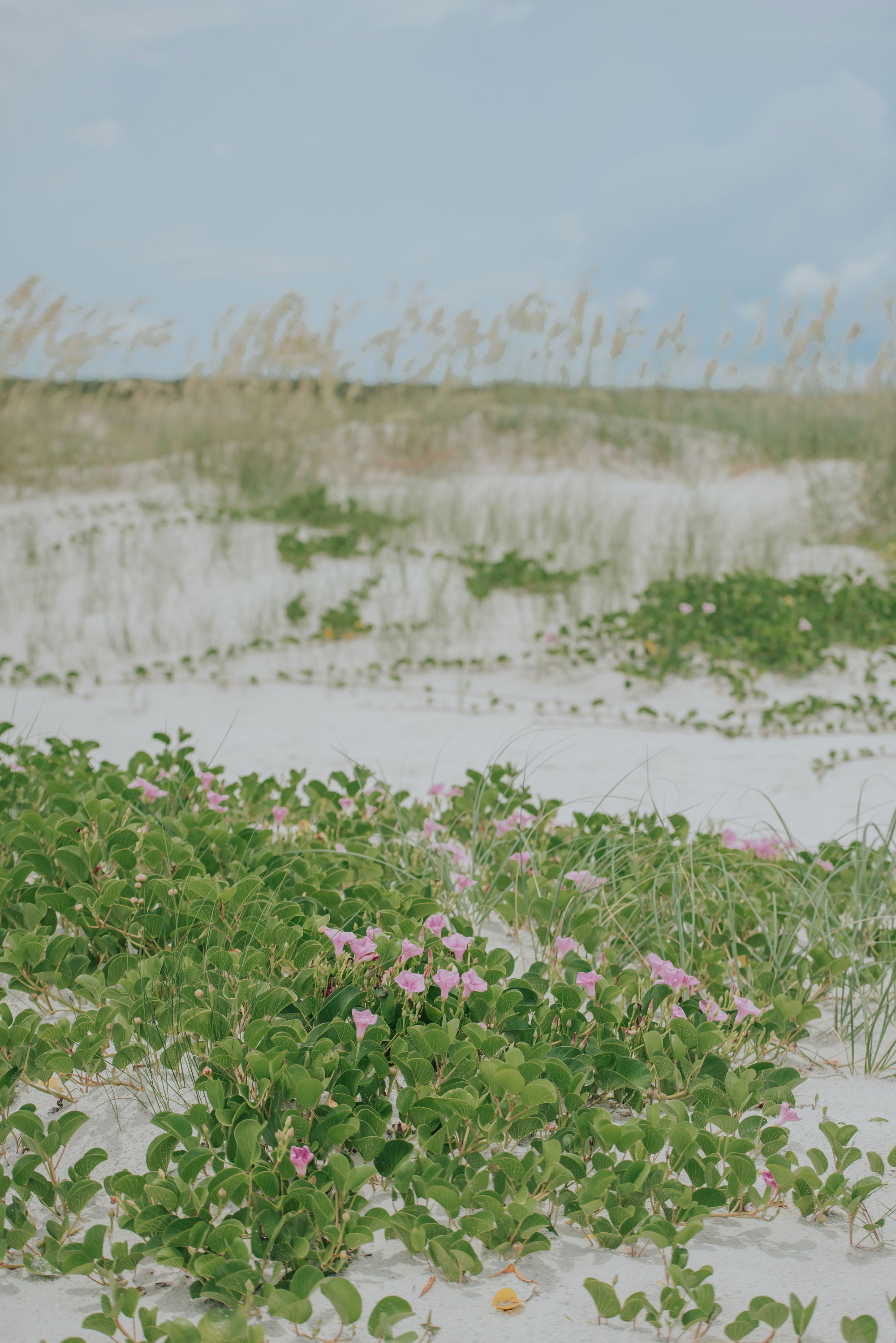
The white sandy beaches and towering sand dunes running along nearly 18 miles on the island’s eastern border complete its trio of habitats. Cumberland’s mature sand dune system — ridges that run parallel to the beach — was formed by blowing wind hitting barriers like sea shells or marsh wrack, leaving piles of sand away from the beach. Federally protected sea oats are an important part of this ecosystem because the flattened seeds help block wind and build up the sand that supports low-growing plants like beach croton and ghost crabs.
Along the beach, marine animals like sea stars and clams come and go with the tide, while dolphins and manatees can be seen in the Atlantic Ocean. Beachcombers can find shells of whelks, horseshoe crabs, clams and fossilized sharks teeth in the sand. Visitors can collect unoccupied shells (check them carefully) and sharks teeth to take home, but nothing else is permitted to be removed from the island.
Sea turtles & feral horses
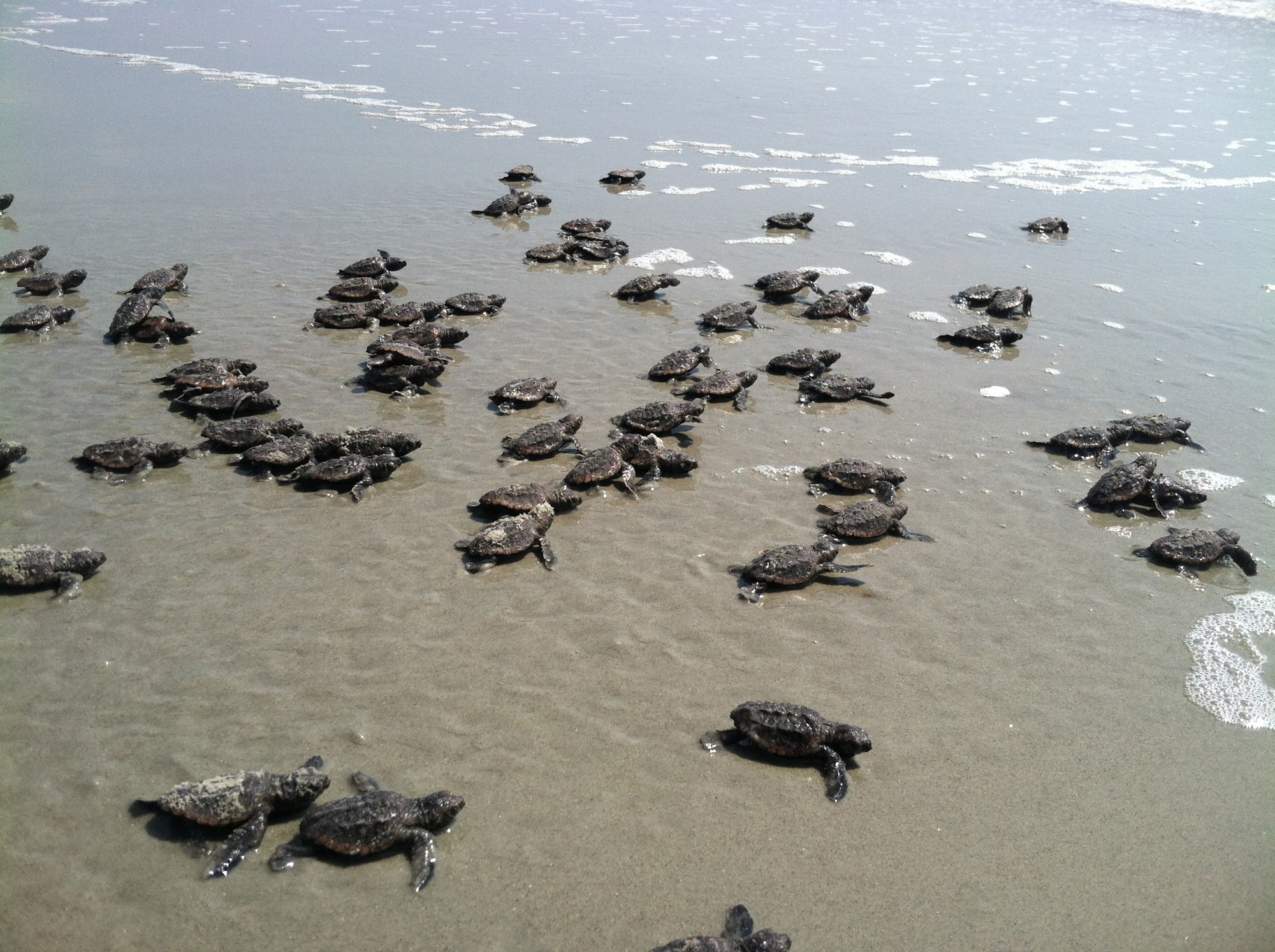
Cumberland’s pristine beaches account for 25 to 30 percent of the statewide sea turtle nest total each year. Mature female turtles return to the beaches each spring and early summer to nest, and lucky guests can spot baby turtles hatching and returning to the water in August and September.
Although not native to the area, the area’s 100-plus feral horses are another island animal highlight. Most likely brought over as livestock by the Spanish in the 1500s, the horses continued to be a part of the island’s agricultural and transportation network until the mid-1950s when many began to roam freely in the island’s marshes, dune meadows, and fallow fields. Visitors are likely to see the horses on the island’s roads and trails, beaches and near Dungeness Ruins, but are warned to keep far away and never to try to feed or pet them.
To preserve the island’s serenity and fragile ecosystem, visitors are limited to 300 per day. The only overnight accommodations are at designated campsites and the historic, 30-guest Greyfield Inn. Visitors can experience Cumberland Island on day trips, taking guided tours of former Carnegie properties like the Dungeness Ruins and Plum Orchard Mansion, or exploring the island on their own by foot or bike.

