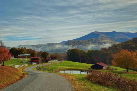
Scenic road in North Georgia. Photo by @viewfindernc
6 Top Scenic Georgia Drives
Hit the road to experience some of the most picturesque drives in Georgia!
Turn off the highway and enjoy a more leisurely route on scenic drives through Georgia's small towns on some of the state's most gorgeous routes. From twists and turns through North Georgia's forested mountains to picturesque stretches through salt marshes on the coast, these routes are not only fun to drive, but they also offer plenty of interesting places to stop along the way.
Get out of the car to stretch at a state park, learn about historic events at a local museum, spot wildlife at nature preserves, and stop for a bite to eat at a locally owned restaurant. These routes are more about what you can see and do along the way than about getting somewhere in a hurry.
Choose a part of the state you want to explore next: northwest Georgia, northeast Georgia, southeastern Georgia, western Georgia, south Georgia, or the coast.
Head in a new direction, take your time, and enjoy the ride.

Cohutta-Chattahoochee Scenic Byway
Spanning from Cohutta to Ellijay, the 56-mile Cohutta-Chattahoochee Scenic Byway travels through the Chattahoochee National Forest, plus a number of charming towns.
At Prater’s Mill in Dalton, observe a working 19th-century gristmill and cotton gin, and pick up goodies at the general store.
After leaving Dalton, drive east to Chatsworth, where you can break for lunch and explore the Chief Vann House Historic Site, a restored mansion built in 1804. This town is also home to Fort Mountain State Park, a great place to stretch your legs on a trail (there are more than 3,700 acres of them).
Finish your road trip by picking apples in Ellijay, Georgia’s Apple Capital, where you may also buy jams, jellies, and baked goods to take home.
Fun fact: Ellijay grows 600,000 bushels of apples each year.
Russell-Brasstown Scenic Byway
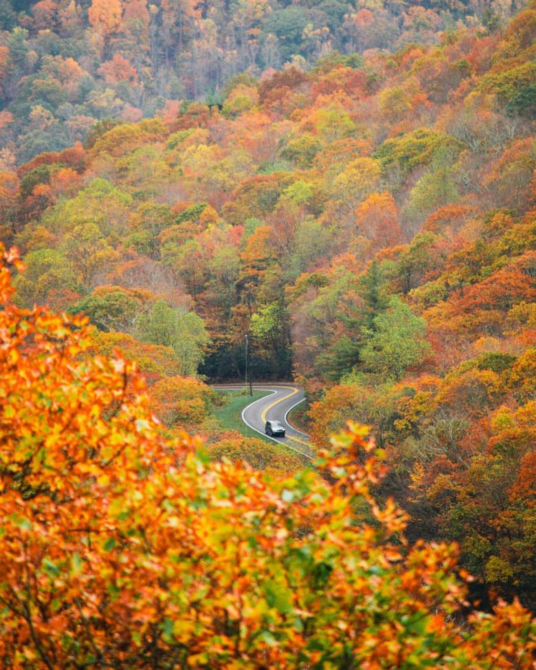
Traveling through White, Towns, and Union counties, the nearly 41-mile Russell-Brasstown Scenic Byway looks onto gorgeous vistas surrounded by the Chattahoochee National Forest.
Wind through the mountain gaps and valleys of the Southern Appalachians, stopping for Kodak moments along the way. One of the best is atop Brasstown Bald, the highest natural point in the state and an ideal spot to watch the leaves turn brilliant colors in the fall.
Be sure to pack a lunch for this drive: There are numerous picnic spots at the scenic overlooks.
If the weather is nice and you feel like some exercise, tackle the nearly two-mile round-trip hike to Dukes Creek Falls or a portion of the famed Appalachian Trail at the Hogpen Gap trailhead before hopping back in the car to continue your scenic drive.
Fun fact: On a clear day, you can see Atlanta from the peak of Brasstown Bald, even though it’s more than 100 miles away.
Woodpecker Trail
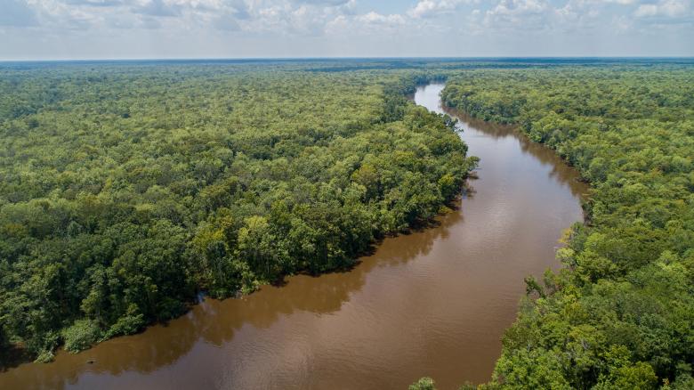
Founded almost a century ago, the Woodpecker Trail is among the oldest planned tourist routes in the United States. Traveling along Georgia State Route 121 and named for the abundant woodpeckers inhabiting the nearby pine forests, the Georgia portion of the drive is 204 miles, passing through such charming towns as Folkston, Metter, Waynesboro, and Augusta.
Stop in Homeland or Folkston to visit the Okefenokee National Wildlife Refuge, a 396,000-acre home for endangered red-cockaded woodpeckers, cranes, robins, hawks, owls, and bald eagles.
When you reach the Altamaha River in Reidsville, stretch your legs as you explore more than 125 species of rare and endangered flora and fauna.
In Metter, check out Guido Gardens, which boasts three acres of footpaths, waterfalls, and a 24-hour prayer chapel. The historic town is also home to a 1902 train depot and 1928 commissary.
Fun fact: In 1949, the Woodpecker Trail Association secured permission to use Walter Lantz’s cartoon character Woody Woodpecker as the trail’s mascot.
Meriwether-Pike Scenic Byway
Named for the two counties it travels through, the Meriwether-Pike Scenic Byway highlights an area known as the Cove, once home to Native Americans, bootleggers, and even an American president.
The 55-mile route begins at Warm Springs, the location of President Franklin Delano Roosevelt’s Little White House, and continues north through Gay, south to Molena and Manchester, and then back to Warm Springs.
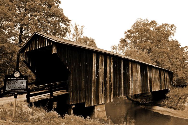
In Woodbury, pull off at the western end of the Red Oak Creek Covered Bridge, a 391-foot-long pass still used by light traffic today. Built in the 1840s, it’s Georgia’s oldest remaining covered bridge.
In Gay, highlights worth parking for include Oakland Baptist Church and Jones Mill, where a large gristmill and millpond are all that remain of a once-bustling farm community.
Fun fact: The area traversed by the Meriwether-Pike Scenic Byway was carved out of the earth by a meteor impact billions of years ago. In the 1970s, it was home to an extraterrestrial research station.
Enduring Farmlands Scenic Byway
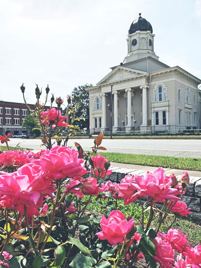
You’ll feel as if you’ve traveled back in time when you drive by more than 60 rolling miles of pastoral farmland in Pulaski and Wilcox counties on the Enduring Farmlands Scenic Byway. You’ll pass the historical towns of Hawkinsville, Pineview, Rochelle, and Abbeville, which produce timber, peanuts, watermelons, pecans, poultry, cotton, sorghum, and more.
Stop into a local farmers market or festival, or explore the Ocmulgee River in Hawkinsville or Abbeville. Interested in historical architecture? The Hawkinsville Historic Opera House is a must-see. Built in 1907, it’s on the National Register of Historic Places and underwent $1.7 million in renovations in 2000.
While you’re in Hawkinsville, stop by the Lawrence Bennett Harness Horse racetrack and watch the harness horsemen train trotters on the clay track from October through April, preparing for qualifying races in April during the annual Hawkinsville Harness Festival. And follow the Hawkinsville Historical Driving Tour to see some of Pulaski County's beautiful historic homes and buildings.
Fun fact: Abbeville, a stop on the Enduring Farmlands Scenic Byway, is famous for its large population of wild hogs and is referred to as the “Wild Hog Capital of Georgia.”
Coastal Highway U.S. 17
Leave the interstate traffic behind and hop onto a portion of the route used during the early 20th century by Canadian and Midwestern vacationers seeking the sunny south. The route follows Coastal Highway U.S. 17 through Richmond Hill south to Darien, past Butler Island to the port city of Brunswick.
Detour here to St. Simons Island and Sea Island, or cross the Sydney Lanier Bridge to the causeway entrance for Jekyll Island.
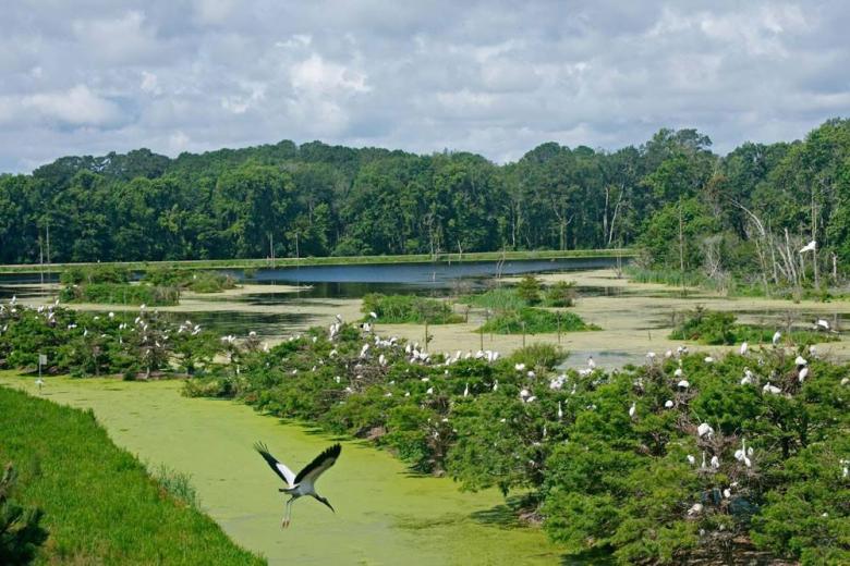
Meandering past old military forts, rivers, and vast salt marshes, U.S. Highway 17 also serves as a scenic drive for the Colonial Coast Birding Trail. Stop by Harris Neck National Wildlife Refuge or 17 other viewing spots to observe more than 300 species during migration and nesting season.
Fun fact: In 1717, Scottish nobleman Sir Robert Montgomery named a section of the Georgia coast the “Golden Islands.” Others fancy the name originates from the changing hue of the marsh grass in autumn.


